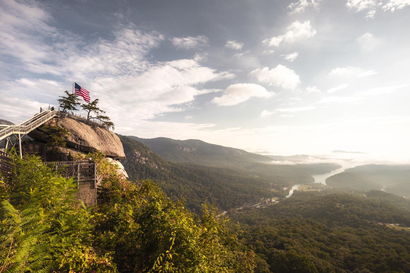
The lake itself may not reopen until 2026 – nearly a million tons of silt/sediment had been removed by the US Army Corps of Engineers in the first 11 months of recovery from Hurricane Helene – but the mountains surrounding Lake Lure, the Village of Chimney Rock and the Hickory Nut Gorge have begun to welcome back visitors. Our Day Trip offers several ways to experience – and support – the area as recovery continues.
Morning
Hike Rumbling Bald Mountain: This 1,100-acre mountain is the heart of Chimney Rock State Park, and it’s open again for exploration. The 1.5-mile loop trail offers great views of the gorge, plus up-front encounters with the massive boulders that make this area so popular with climbers … .
Climb Rumbling Bald Mountain: If you prefer going up rocks rather than around them, Rumbling Bald is a must. There’s technical climbing, but the area really makes its name with its bouldering – short climbs (no more than 15 to 20 feet off the ground) made without ropes, a prospect made less daunting by a foam “crash pad” placed at the base. There are an estimated 1,500 bouldering “problems” (rocks to be topped) at Rumbling Bald. Its southern exposure makes Rumbling Bald especially popular during cold-weather months.
Late morning
Hike Dittmer-Watts Nature Trail: It’s hard not to like a trail network that gives you options. Maybe you just want to hike a short distance to a spot where you can have a picnic lunch: the Piney Hill and Creekside trails get you to a covered picnic shelter in 0.2 miles. Care to explore further? The entire trail network is 3.3 miles. Pretty mellow hiking for a mountainous area.
Afternoon
Hike Youngs Mountain Trail: The Town of Lake Lure really knows how to pitch a trail. Among the features to keep an eye out for on the way up Youngs Mountain are: deer, bear, coyotes, bobcats, flying squirrels, bloodroot, trillium, native azaleas, multiple rock outcrops, mountain streams and a waterfall. Oh, and from the summit of this 4.2-mile out-and-back hike: views of Lake Lure, Rumbling Bald and Weed Patch Mountain. Yes, it’s a strenuous hike, gaining 1,200 feet of elevation (a goodly amount of it on stone and log stairs), but the payoff along the way and from summit is worth it.
Important note: You need a parking pass to hike here, available free from Conserving Carolina here.
Late afternoon/evening
Hike Bearwallow Mountain: What better way to end a day of stellar exploring than with a mountaintop meadow view of the retreating sun. This 2-mile roundtrip hike involves a steady climb up well-maintained trail to a meadow where, from the 4,232-foot summit, you and grazing cattle can take in a sweeping 360-degree view that takes in everything from Mount Mitchell (at 6,684 feet the highest point east of South Dakota’s Black Hills), Mount Pisgah, and the high country of South Carolina. Be sure to take a headlamp, lest you become transfixed by sunset and the transition to an open sky.
Please note: Access may be limited; this note appeared on the Conserving Carolina website as of Aug. 26, 2025: “Please bear in mind that road closures in Gerton on 74-A and the lower section of Bearwallow Mountain Rd are still in effect. Hikers should only access the trailhead from the Edneyville side of Bearwallow Mt.”